

Zdjęcia na tkaninie autora Monika Huňáčková
FILTRUJ WYNIKI
Orientacja obrazów: wszystkie
pozioma
pionowa
kwadratowa
Rodzaj obrazów: wszystkie
zdjęcie
ilustracja
wektor
Zastosuj
#358360219
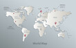
 World political map blue white vector
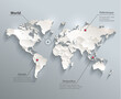
#116311628
 World political map 3D vector individual states separate
#492299301
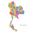 Thailand map, individual regions with names, administrative division, colors map isolated on white...
#488080110
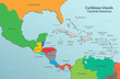
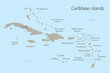 Caribbean islands map with names vector
#470138434
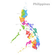 Philippines map, administrative division, separate individual regions with names, color map isolated...
#399803330
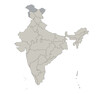
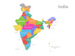 India map, administrative division, separate individual regions with names, new map of division year...
#116311612
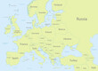
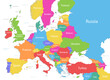
 Europe political map flag 3D vector individual states separate
#497170911
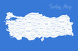
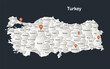 Turkey map, Infographics flat design colors snow white, with names of individual regions vector
#77768624
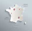 France map blue white card paper 3D vector
#492300136
 World map, blue white card paper 3D, blank template raster
#498803910
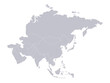 Asia map, individual states blank
#490977911
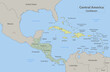 Central America and Caribbean islands map classic color, individual states and city whit names...
#480262510
 Philippines map, administrative division, separate regions, color map isolated on white background,...
#73058845
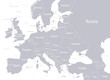
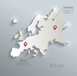 Europe map blue white card paper 3D vector infographics
#213687594
 Caribbean islands Central America map state names card colors 3D vector
#489770462
 Europe with parts of Asia classic color detailed map, individual states and islands and sea with...
#486969552
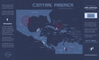
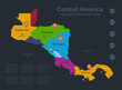 Infographics Central America map, flat design colors, with names of individual states, blue...
#80738575
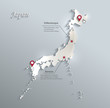 Japan map blue white card paper 3D vector infographics vector
#502118837
 Turkey map, administrative divisions whit names regions, blue background vector
#77768621
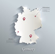 Germany map blue white card paper 3D vector
#491699762
 Europe with parts of Asia, multicolored detailed map, individual states and islands and sea with...
#489770431
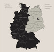 Black map of Germany map divided on West and East Germany with names of regions, design blackboard...
#475425523
 India map, individual regions, blank
#429059154
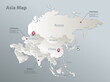 Asia map, separate states with names, blue white card paper 3D vector
#409064799
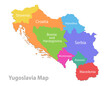 Yugoslavia map, administrative division, separate individual regions with names, color map isolated...
#399803377
 World continents map, with names continent, blue white card paper 3D vector
#492299249
 Caribbean islands and Central America map, individual states and islands and city whit names,...
#58176265
 Italy map card paper 3D natural
#495022992
 Europe with parts of Asia, gray white detailed map, individual states and islands and sea with names...
#481728907
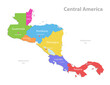 Central America map, separate individual states with state names, color map isolated on white...
#484163064
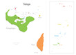 Tonga map, administrative division, separate regions with names, color map isolated on white...
#482188624
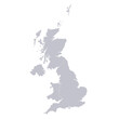 Infographics of United Kingdom map, individual regions blank
dodaj do ulubionych